5 Mar 2006 - The Skyline Track Expedition
Our expedition of three (we had our Restaurant/Coffee Shop/ Lighting consultant Jean Maina with us) walked the Wanaka Skyline Track from Mt Aspiring road over Roy's Peak (1581m) and Mt Alpha (1630m) to Spott's Creek on the Cardrona road. It's a solid eight and a half hours walking with a 1200m climb over about 20km with great views of Mt Aspiring and Lake Wanaka. Left click to enlarge the photos.

Roys Peak on the right, Mt Alpha on the left. This shot was taken from our deck on 8 April after the season's first real dump of snow. When we walked in March there was no snow on the peaks. Walking/skiing it now and over winter would be quite an adventure as there are a few steep climbs and traverses to navigate.

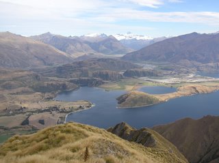
Looking down to the start of the walk with Lake Wanaka in the background. Wanaka is around to the right.
 Scanning from right to left of the above shot, looking up Lake Wanaka towards Makarora.
 Scanning left again, looking up the Matukituki Valley towards Mt Aspiring.
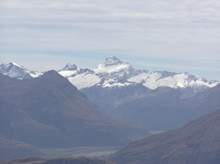 Mt Aspiring (3027m).
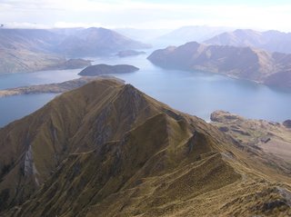
 Looking down Waterfall Creek across to Ruby Island, Bremner Bay, Roys Bay and Wanaka.

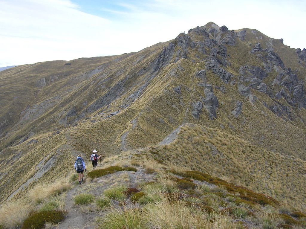
Dawn and Jean walking off Roys Peak on the rough path to Mt Alpha.

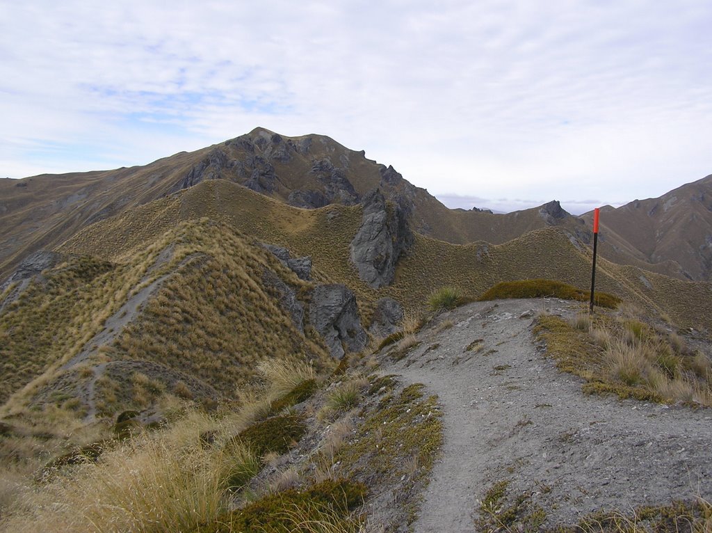
Mt Alpha in the distance.
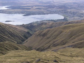
Just below Mt Alpha. You'll need to enlarge to spot Dawn and Jean.
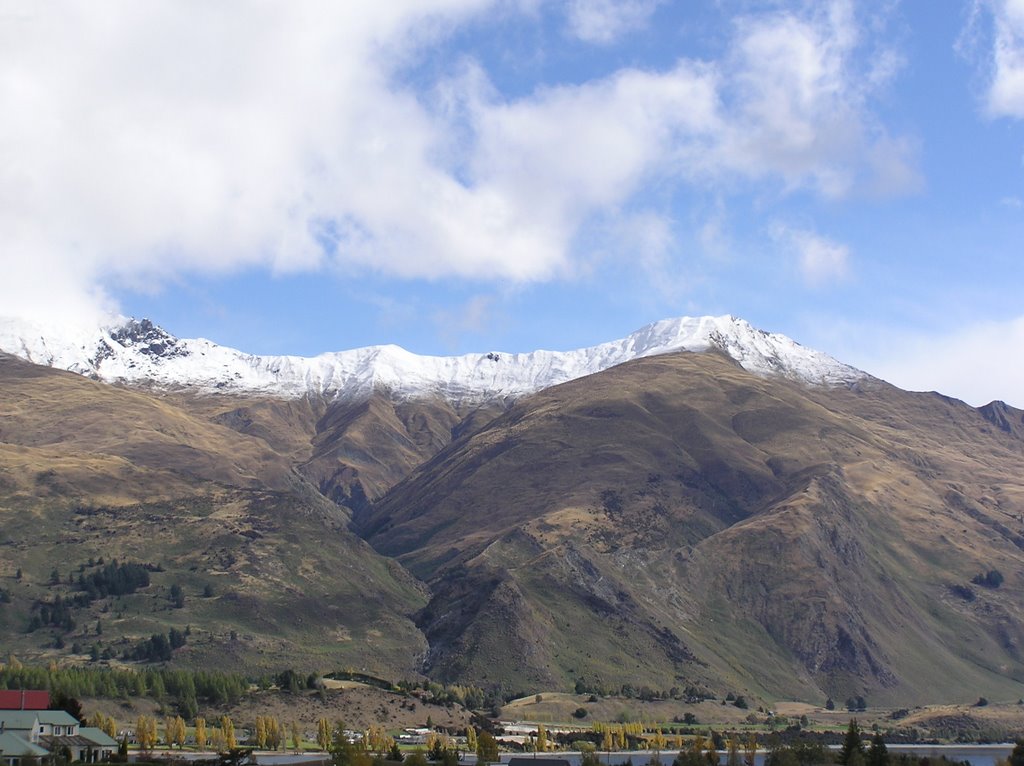
Roys Peak on the right, Mt Alpha on the left. This shot was taken from our deck on 8 April after the season's first real dump of snow. When we walked in March there was no snow on the peaks. Walking/skiing it now and over winter would be quite an adventure as there are a few steep climbs and traverses to navigate.
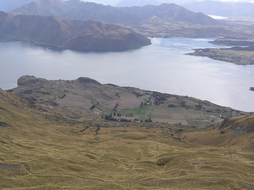
Looking down to the start of the walk with Lake Wanaka in the background. Wanaka is around to the right.
 Scanning from right to left of the above shot, looking up Lake Wanaka towards Makarora.
 Scanning left again, looking up the Matukituki Valley towards Mt Aspiring.
 Mt Aspiring (3027m).
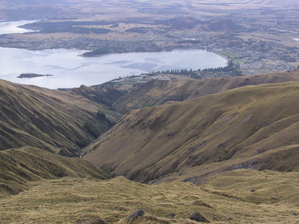 Looking down Waterfall Creek across to Ruby Island, Bremner Bay, Roys Bay and Wanaka.
Dawn and Jean walking off Roys Peak on the rough path to Mt Alpha.
Mt Alpha in the distance.

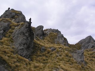
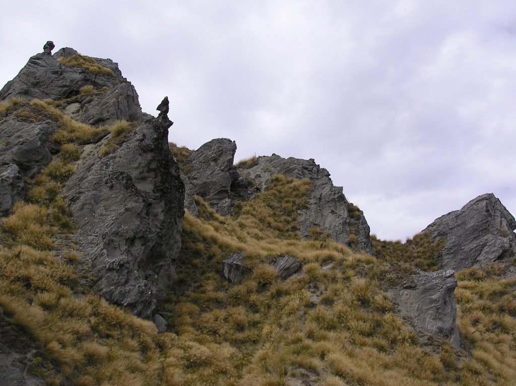
One of the many schist outcrops on the walk.
 Mountians of tussock grass with the Remarkables Range above Queenstown on the horizon.

And more schist!

Just below Mt Alpha. You'll need to enlarge to spot Dawn and Jean.
.
posted by Greg Martin at 9:46 PM
![]()

0 Comments:
Post a Comment
<< Home